| |
MCCSC Snowshoe Trails |
Trail and Rental Fees |
|
GPS Information |
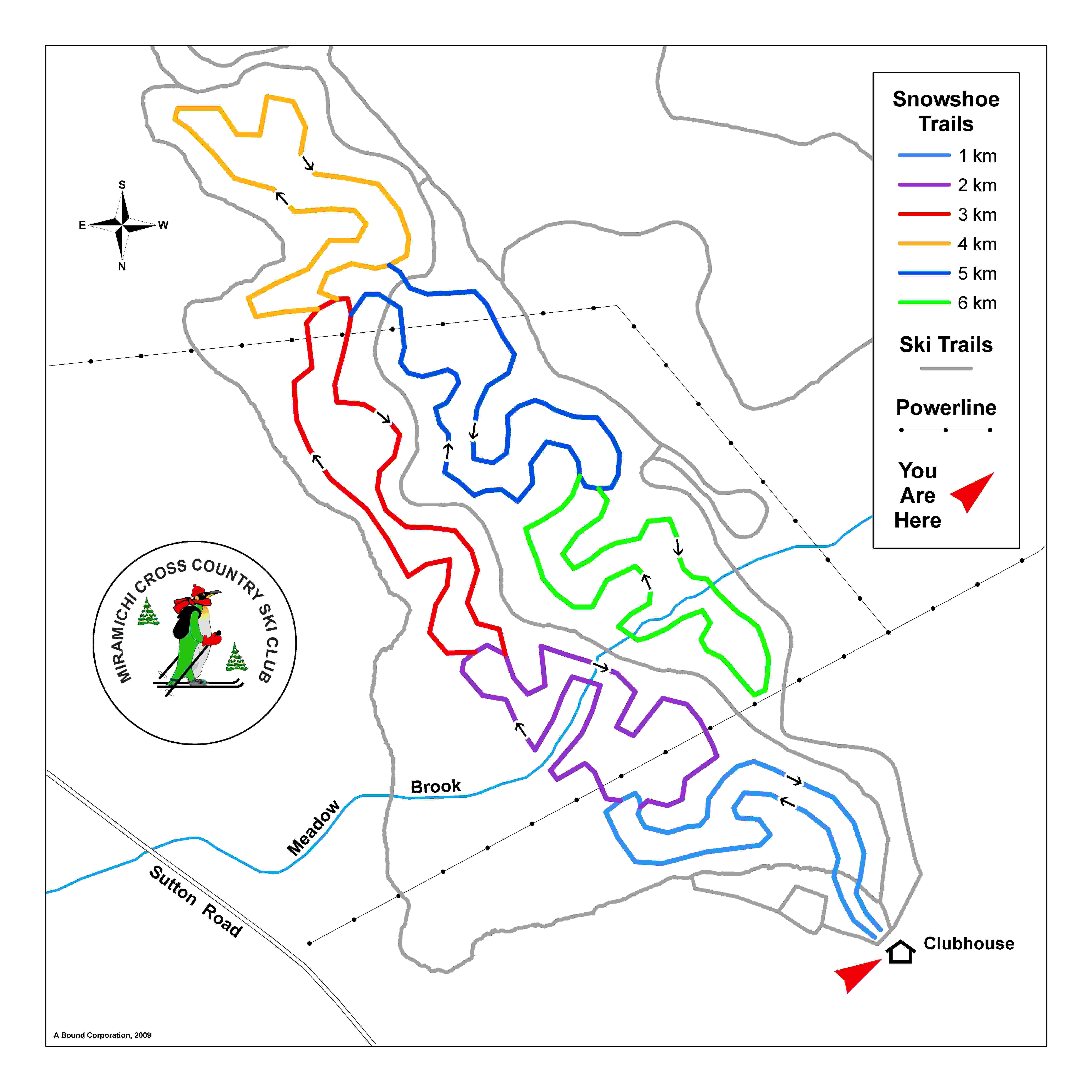
TRAIL DESCRIPTION: The trail leaves and returns to the MCCSC club house. You hike through a mixture of thick coniferous stands and open deciduous woods. You can hike 1 km, 2 km, 3 km, 4 km, 5 km or 6km loops without doubling back on any trails. (The 5 & 6 km portions are a bit more demanding as they follow along a side hill by the brook and up and down several small hills). It takes about 2.5 hours to hike the full 6 km with 4 log bridges crossing a Meadow Brook. The well marked trail has lots of blazes and maps are located at all intersections. |
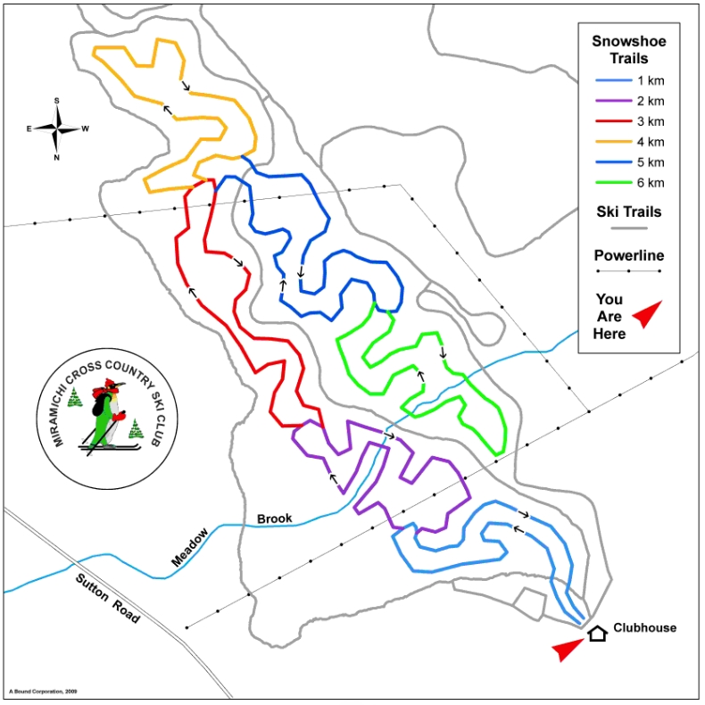
Click here for detailed map |
 |
 |
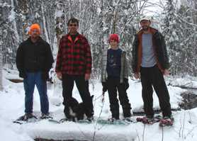
L to R: Jeff Dunnett, Herman and Braden Koops and Paul McClafferty crossing Meadow Brook |
Braden's dog, Lucy had a chance to check out the new trail. |
 |
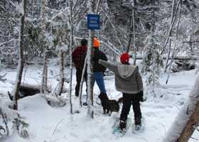
On December 10th, 2010, the A Bound staff were the first to hike the new trail at the Miramichi Cross Country Ski Club which was designed and laid out by A Bound Corporation staff with high tech mapping software and GPS. A Bound crews cut the new snowshoe trail this past summer(2009). |
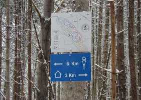
Trail Intersection |
|
|
MCCSC has snowshoes available for preschool youngsters to use at the club, thanks to the generous support of PNB’s “Communities Raising Children – Every Child Counts”, |
|
|
|
|
|
|

